If it wasn’t for the Blue Lagoon, Reykjanes peninsula would get a very small share of visitors stopping. For many, Reykjanes is a missed opportunity to see some thermal areas, wild nature and small fishing villages off the beaten track. To help you find all the goodies around Reykjanes, we have made this travel guide for you. We will start this trip in Keflavik and go north from there.
![]() Towns & villages
Towns & villages ![]() Campsites
Campsites ![]() Pools & Hot springs
Pools & Hot springs ![]() Points of Interest
Points of Interest ![]() Crossroads
Crossroads
 Keflavik
In 1994, the towns of Keflavik, Njarðvík & Hafnir merged into one and together is called Rekjanesbær. In total, the area has some 18.000 inhabitants with Keflavik being the biggest one with 8900 inhabitants.
There are plenty of restaurants, stores, coffee houses in Keflavik. A visit to Duus museum is highly recommended with its many hundred of ship models. Also use the time to visit the Icelandic museum of Rock’n roll.
There are no campsites in Keflavik which takes us to the next village north of Keflavik.
 Garður
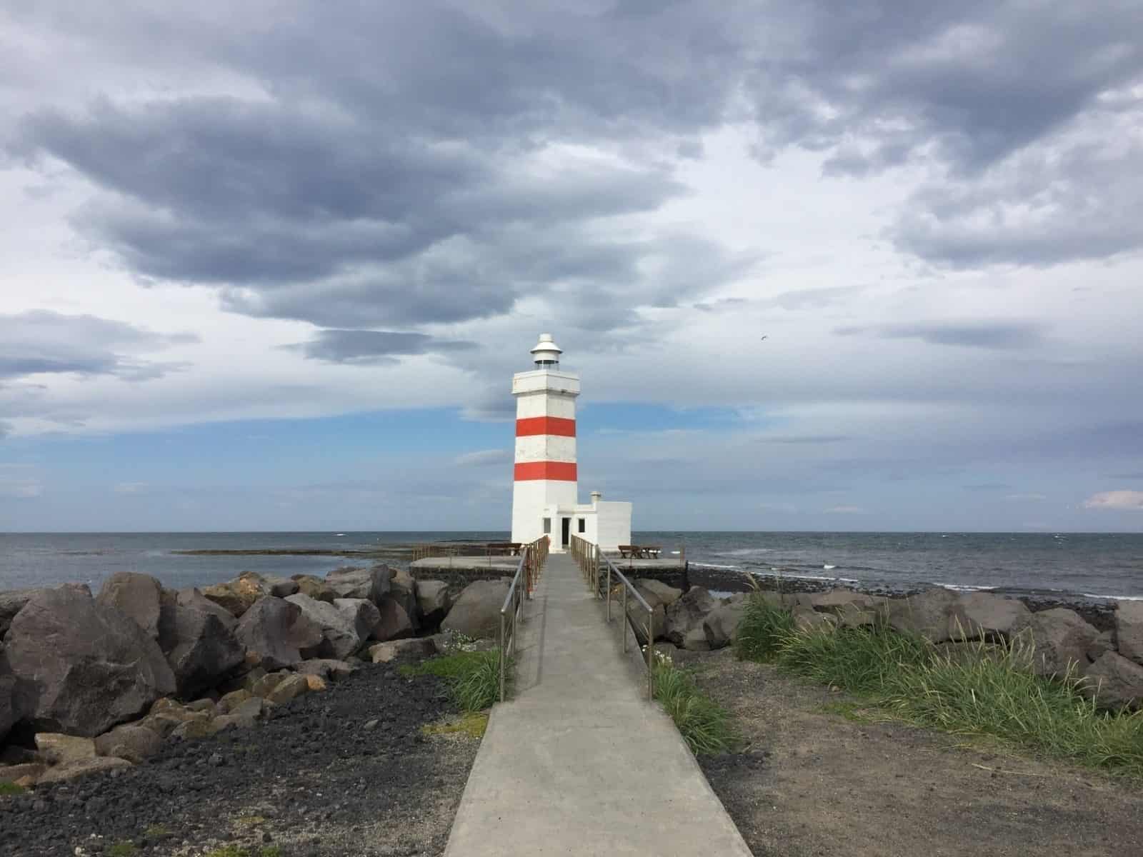
10km/6.2 miles north you’ll find Garður (1500 people) with its stunning campsite out by the famous lighthouse Garðskagaviti. When the weather is perfect, you don’t need anything else. You also have a small, interesting museum just by the campsite. Garður is also the hometown of the singer in Of Monsters and men.
In the village you have a post office, a restaurant, a swimming pool & hot tubs and the usual suspects you’ll find in a small village in Iceland.
 Sandgerði
When traveling along the coast in a southwest direction on road 402 and/or 45, you will arrive in Sandgerði after 6km/3.8 miles. About 1800 people share the space here. The village faces the open ocean to the west but with shallow reefs close to shore, the village is decently protected despite its low shore.
At the Science & Learning center, you can learn about Icelandic nature and wildlife, sea creatures and art. They always have different exhibitions there too so it can be well worth a visit.
North of the village is a small pond called Sandgerðistjörn where migratory birds meet and along the shore, you will find the oldest house in town.
 Hafnir
It’s 21km/13miles between Sandgerði & Hafnir. Around halfway you will pass an interesting stone church (seen from the road). A little bit further south you will come to Crossroads 2 (see map) that takes you to Stafnesviti Lighthouse. It’s well worth it to check it out and take a hike around the area. Road 45 ends so take a left turn on to road 45. After a 5 minute ride you will arrive to Hafnir (after a right turn).
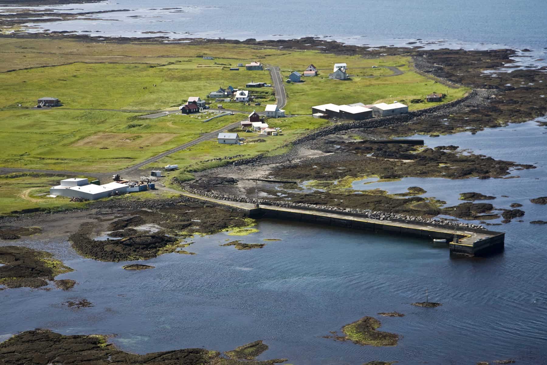
 This is the smallest village in Reykjanes peninsula and one of the smallest in Iceland. There is a hiking path along the shore where whales can be spotted and south of Hafnir is a bird cliff called Hafnaberg often packed with birds.
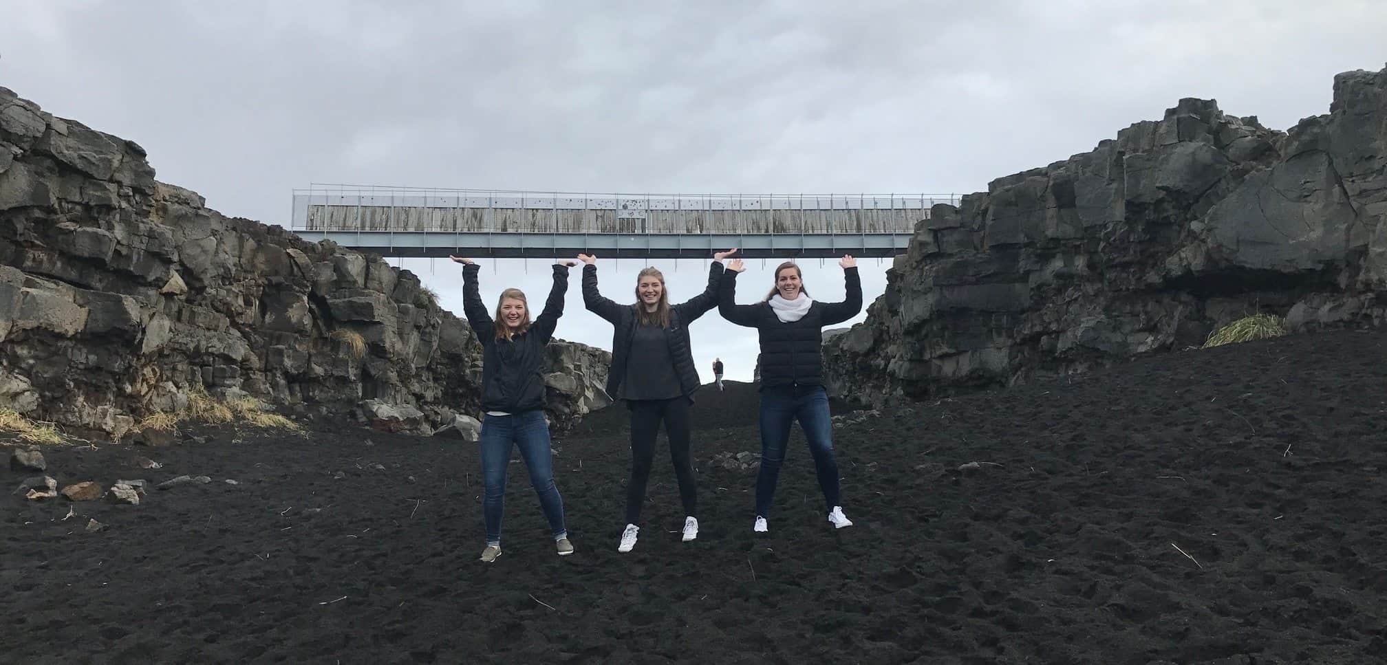
Further south, there is a bridge between the continental plates that is interesting to check out. When driving south, you will see one road to the left marked with a small sign, if you see a very small lake on your right, you have passed it.
 Reykjanes Geothermal area
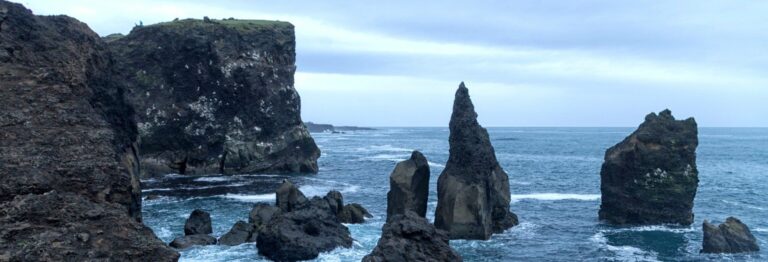
Roughly 5 minutes south from the bridge, we highly recommend you make a left turn towards Reykjanesviti (crossroads 4). At crossroads 5 you can turn left to the parking lot and walk around a very active geothermal area. Further on on road 443 take a right turn to visit Reykjanesviti lighthouse and Valahnúkamöl, fantastic rock formation that gets pounded by huge Atlantic swells almost daily.
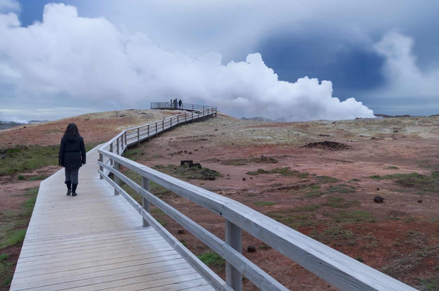
 When continuing the trip, you will arrive to Gunnuhver geothermal area. There is parking just before you reach the area. Walk around there but be careful of where you place your feet. Further on there are more places too that are worth exploring.
When you reach once to road 425 (Nesvegur), take a right and continue east. 5 minutes on this road will take you to the parking lot for Brimketill hot spring. Walk to the ocean and look to your left side and there you will find the hot spring. A fantastic spring in stunning surroundings. Unfortunately the hot spring is forbidden to take a dip in until an unforeseeable future but it’s still worth checking it out.
 Grindavik
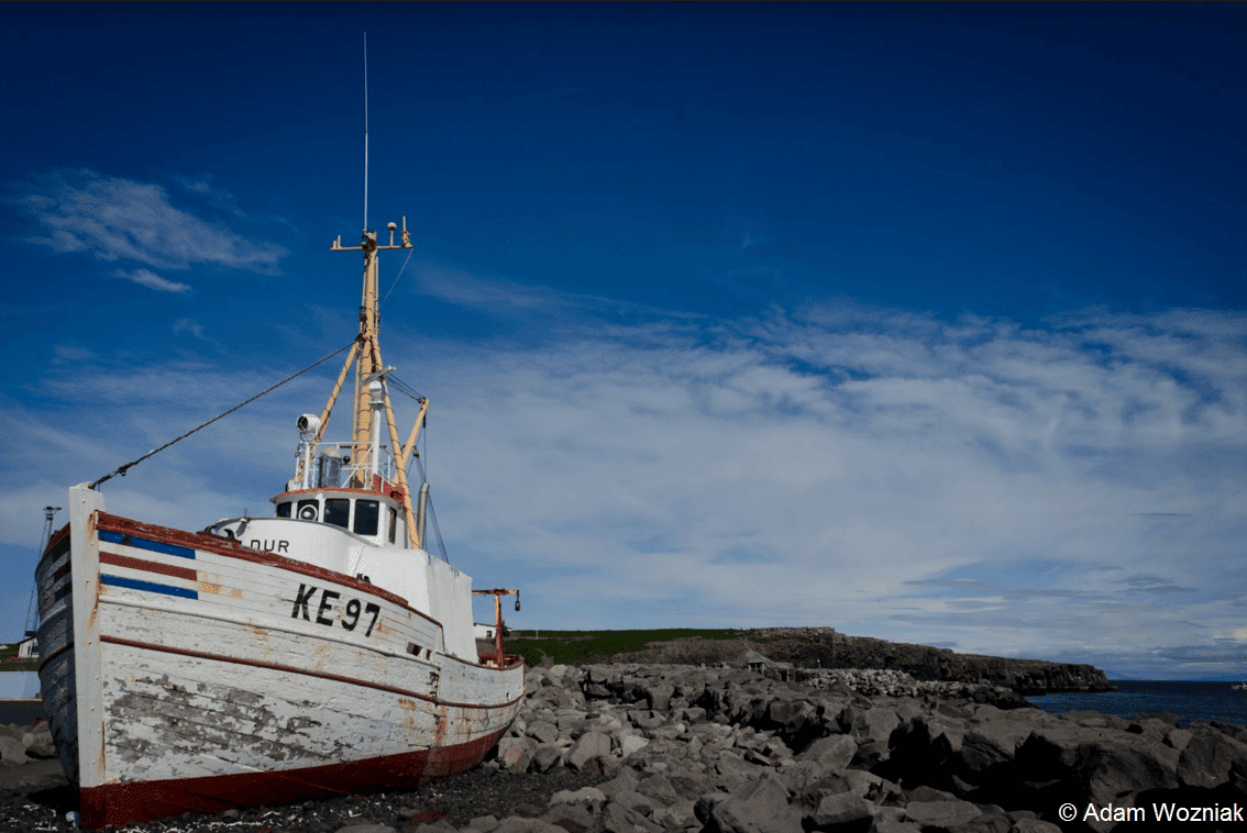
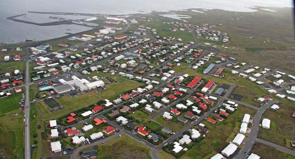
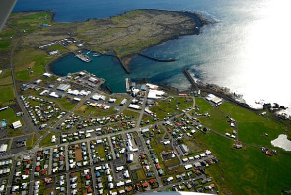
After a 8.5km/5.2 mile ride from Brimketill, you will arrive to Grindavik. This is a well over a thousand year old village. Here you will find a great campsite almost made for a camper vans.
The village is also a big fishing village so you are bound to get fantastic fish in the restaurants. Why not visit The Icelandic Salt-fish Museum situated downtown. Also hike around the area, the shore for you really feel nature wherever you go.
South coast of Reykjanes
When continuing east on Austurvegur/Suðurstrandarvegur (road 427) along the southern shore, the ruggedness of Reykjanes continues with rocky shore, often ruthlessly pounded by the Atlantic ocean makes this trip so special. So drive with care and enjoy the trip.
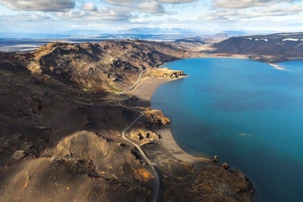 If you want to try fishing in Iceland and have bought the fishing card, Kleifarvatn has some vicious Brown trout but unfortunately, the Arctic char is fighting to survive in the lake. This lake is where parts of 2012 Ridley Scott movie Prometheus was filmed.
When leaving the lake area, you will soon pass (see map) Iceland’s only car racing & quarter mile track. When you reach crossroads 11, take a left to continue your trip to Keflavik. After almost 7km/4.5 miles (crossroads 12), you can turn off the highway and take the scenic route along the coast, all the way to Keflavik.
 The Blue Lagoon
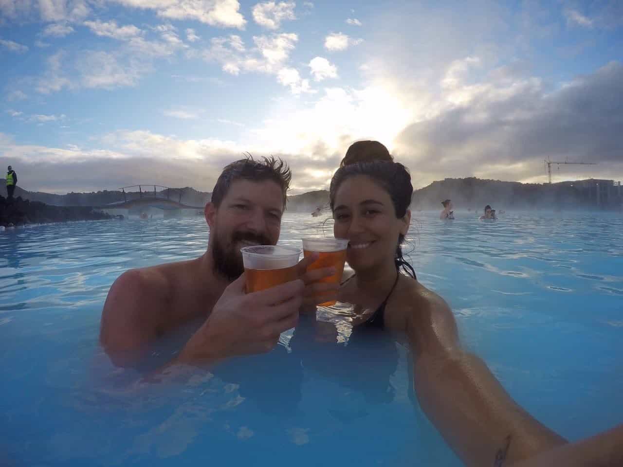
The biggest attraction on Reykjanes peninsula of course, the one place in Iceland you have to order a ticket months in advance to be sure you’ll get in. Many think this is the one place you have to visit in Iceland while others are not that impressed. Whatever you think, you will find the Blue Lagoon between crossroads 14 and Grindavik (see map). It is well marked all the way to the parking lot.
This round-trip is 160km/99.4 miles on different types of roads. When going north from Kleifarvatn, there is a spot that might at times be rough but it’s easy to drive it as long as you drive carefully. The key is to enjoy everything this tip has to offer. We suggest you stop for the night at one or two places and hike around too to see it more than the road has to offer.
Happy Camping! #WohoCamper
Iceland Travel Guide
If you like what you see, please subscribe to our YouTube channel!

