While exploring Iceland, you can also travel by ferry to experience even more of the island. You can bring your camper rental on some of them while others only carry passengers. Here is all you need to know about the Iceland ferries.
The Ferry to the Westfjords
 This Iceland ferry significantly shortens the drive to the Westfjords from Reykjavik. Baldur(Ferjuleiðir) leaves from Stykkishólmur on the north side of Snæfellsnes. You need to book a ticket in advance when you are taking your rental car to the Westfjords.
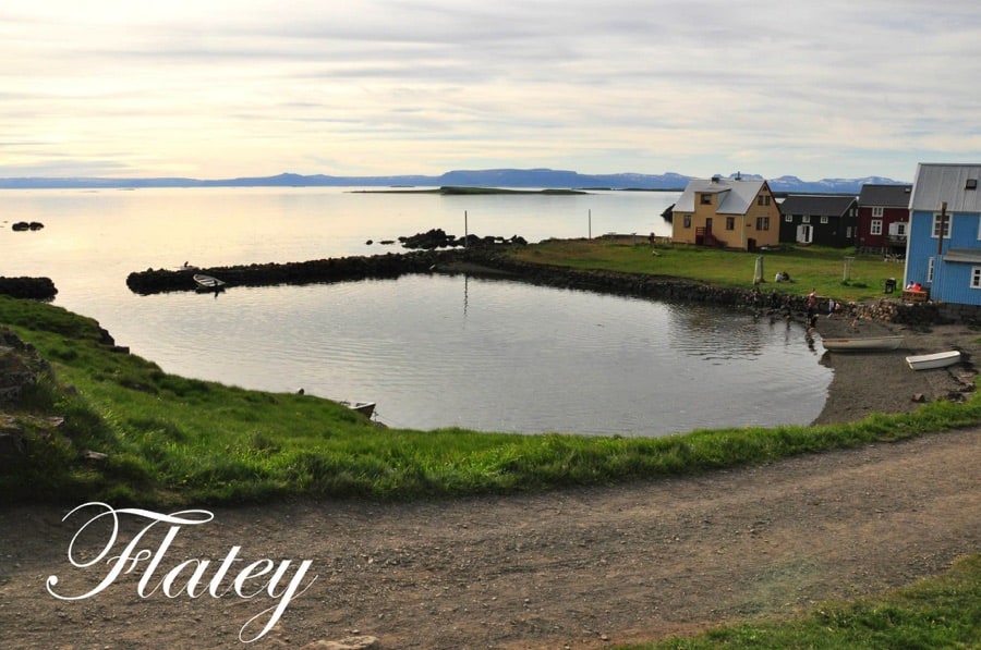
The ferry Baldur first stops at Flatey, an adorable island in the middle of the fjord that has an abundance of bird life, a great hotel with fantastic food and a very quiet country life where people come to take a load off and rejuvenate. There are no cars allowed on Flatey so if Flatey is your only destination, you have to leave the car in Stykkishólmur! From there, the ferry continues north to Brjánslækur in the Westfjords.
Unfortunately, there is no time for sightseeing on Flatey if you are going north (or south) so you will have to make a special trip to do that. The ship features onboard amenities, including a cafeteria and a restaurant, which offer meals and beverages. The trip takes just a little over two hours. The schedule for the ferry Baldur can be found here!
GPS Stýkkishólmur: 65° 4’39.69″N 22°43’24.22″W
GPS Brjánslækur: 65°31’48.92″N 23°11’26.46″W
GPS Flatey: 65°22’16.08″N 22°55’45.74″W
Read more: Travel apps for Iceland
The Ferry to Hrísey

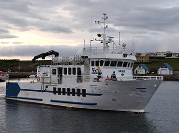 The ferry Sævar takes you, every second hour (and back) to Hrísey, a wonderful little island on the north side of Eyjafjörður, the fjord going north from Akureyri. You can’t bring your rental car on this one and you don’t need it for Hrísey; it’s a very small island with an abundant bird life and views in all directions.
The ferry departs from Árskógssandur and it takes around 15 minutes or so to reach Hrísey. This Iceland ferry is very punctual and will leave even if they see you driving down to the harbour.
GPS Árskógssandur: 65°56’43.53″N 18°21’22.06″W
GPS Hrísey: 65°58’44.33″N 18°22’56.28″W
Read more: Campsites in Iceland
The Ferry to Westman Islands
If the Westman Islands, the beautiful islands south of Iceland, are one of your destinations, you can take the ferry Herjólfur. The ferry operates several times a day depending on the day of the week and the season.
Recently they built a new harbor for the ferry called Landeyjahöfn (see map below). However, due to the harbor filling up with sand at times, the ferry occasionally leaves from the original port in Þorlákshöfn, which results in longer sail. Check out the schedule on their website to see where the ferry to the Westman Islands departs. The trip from Landeyjarhöfn takes about 35 minutes in good weather and from Þorlákshöfn it takes about 2 hours and 45 minutes. You must arrive 30 minutes prior to departure.
Herjólfur takes 60 vehicles and 388 passengers. It has 3 indoor passenger areas. A lounge, a cafeteria and a TV room. There is also a children’s area and seating all over the ship.
GPS Þorlákshöfn: 63°51’43.85″N 21°22’30.76″W
GPS Landeyjahöfn: 63°31’51.90″N 20° 7’4.30″W
GPS Westman islands: 63°26’39.80″N 20°16’7.63″W
Read more: Where to camp in Iceland
The Ferry to Grímsey
The ultimate Iceland ferry ride to take must be Grímsey ferry, Iceland’s most northern island. The ferry leaves from Dalvík and after you arrive in Grímsey after a three-hour sail, you only have to walk a few minutes north and you will pass the Arctic Circle, the only piece of land in Iceland where you can do that.
The ferry sails three times a week and takes 108 passengers. There are two guesthouses available if you choose to stay overnight. Bird watching and enjoying the midnight sun are also very popular there. During the summer months (high season), it’s better to book in advance, as tickets sell out quickly, especially when the sun is high and the sea is calm.
GPS Dalvík: 65°58’19.75″N 18°31’40.32″W
GPS Grímsey: 66°32’18.38″N 18° 1’6.09″W
The Ferry to Viðey

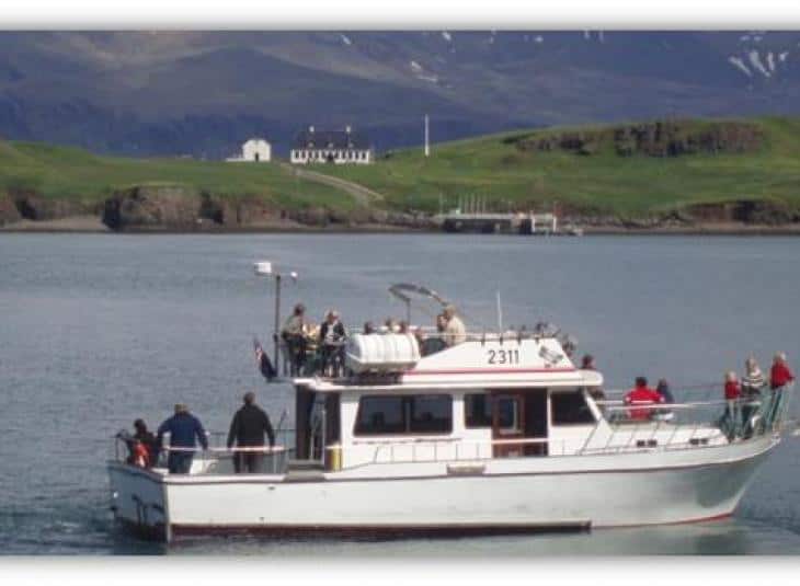 Viðey is a small island just outside Reykjavik. It’s the island where you can find Yoko Ono’s Peace Tower. The ferry to Viðey is not necessarily the boat in the pictured to the right. Elding has been running these ferries since 2007 and they change the ferries at times. There are no roads on Viðey so leave your rental car in the car park just by the ferry. Viðey offers a different view of Reykjavik and it’s a great island to spend a day on. Bring a picnic basket or enjoy the restaurant on the island.
GPS Reykjavik: 64° 9’22.40″N 21°52’2.56″W
GPS Viðey: 64° 9’40.04″N 21°51’19.69″W
Read more: Packlist for camping in Iceland
The Ferry to Hornstrandir

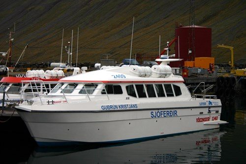 Hornstrandir in the northern parts of the Westfjords must be one of the most remote destinations in Iceland but it’s accessible by a small ferry that takes you there and other places too if you want. They leave you there and pick you up when you want them to. The Ferry to Hornstrandir is too big to reach ashore so when you reach your destination, you will be ferried to the beach in a Zodiac. The ferry leaves from Ísafjörður. Book early, and you’re guaranteed a ticket, as many of the trips do sell out quickly. Upon request, you can get transport to Fljótavík, Hlöðuvík and Hornbjargsviti.
GPS Ísafjörður: 66° 4’15.50″N 23° 7’16.39″W
GPS Hornstrandir: 66°20’36.08″N 23° 4’54.67″W
The Ferry to Látravík
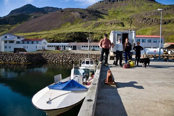
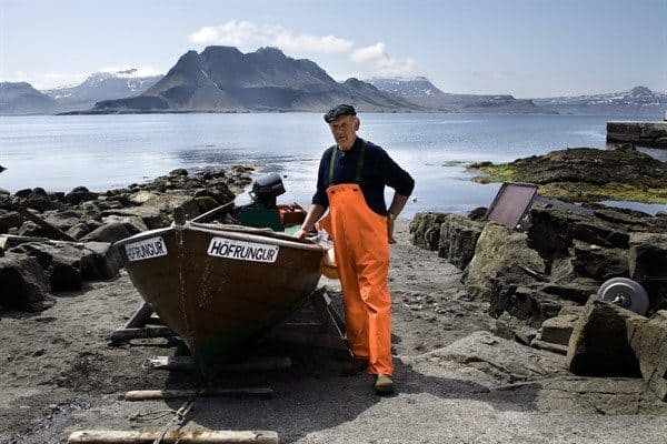 Norðurfjörður is one of the most desolate villages in Iceland and although some inhabitants have left, people still live there. The road there is rough and often closed during the winter. The boat also takes you to Reykjarfjörður where there are two small summerhouses for rent and one a bit bigger. You can book the ferry trip through Strandferðir.
GPS Norðurfjörður: 66° 3’4.59″N 21°32’57.57″W
GPS Reykjarfjörður: 66°15’24.95″N 22° 5’10.27″W
GPS Látravík: 66°24’38.81″N 22°22’46.33″W
The Ferry to Drangey

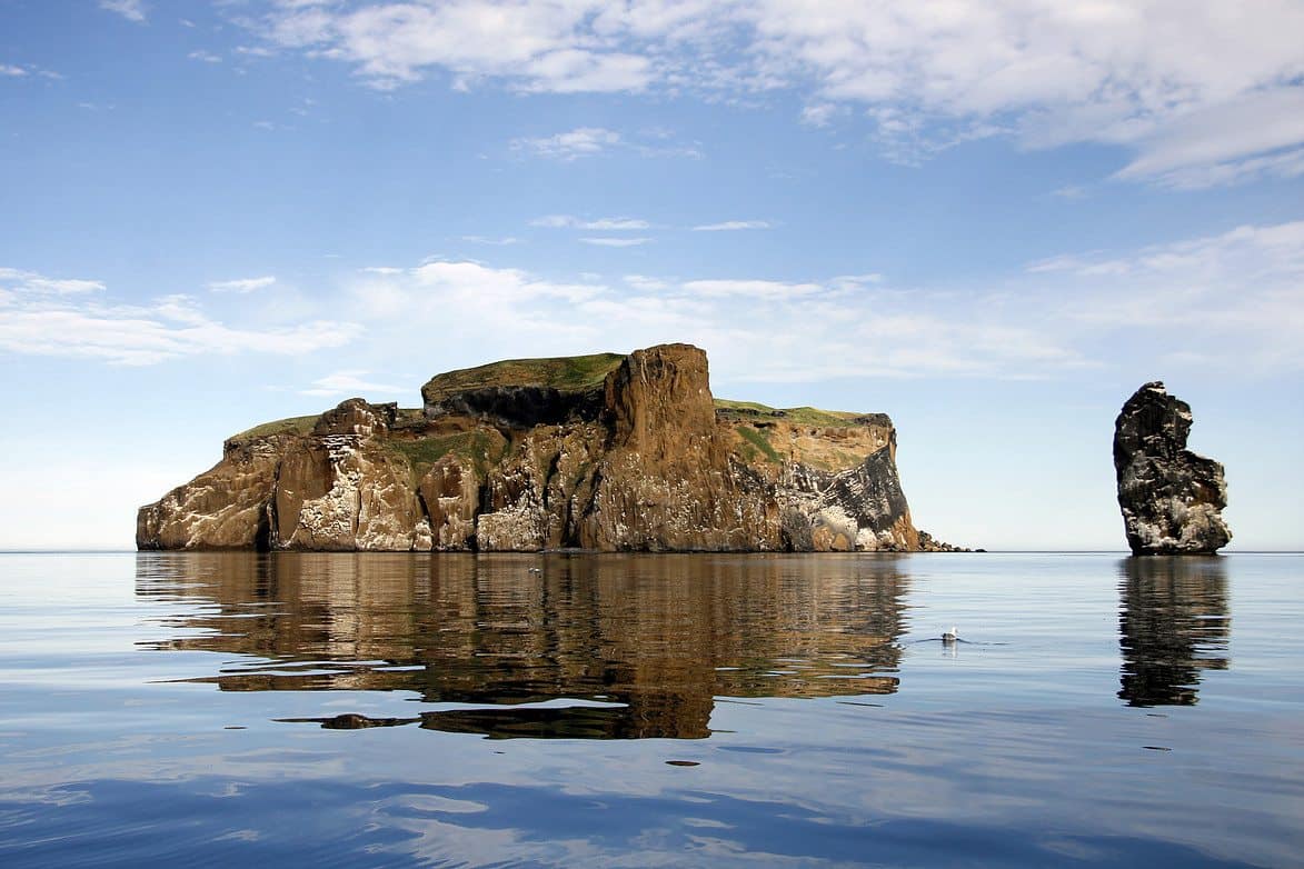 Drangey is situated in north Iceland and is a paradise for bird watchers. The island is 180m tall and is an adventure to visit. The whole trip takes around 3 hours and it includes a hike to the top of the island. Often whales are spotted on that trip.
GPS Drangey: 65°56’37.37″N 19°41’19.47″W
GPS Sauðárkrókur: 65°45’6.43″N 19°39’7.76″W
Life is what you make it. The sea expands your horizons and helps you focus on what’s important. Discover new places, meet people, and experience life off the beaten path, all at your own pace. These are the stories to tell your grandchildren. So take the journey, steer off the beaten path, and enjoy life, one ferry ride at a time!
Happy exploring!


Iceland Travel Guides
If you like what you see, please subscribe to our YouTube channel!

